September 27, 2012: Track Fire

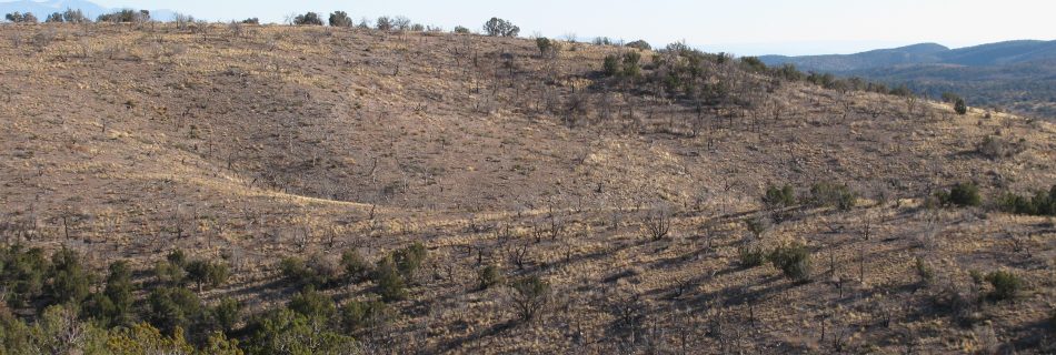
A one day tour of the Track Fire near Raton, New Mexico. The fire started on June 12, 2012 from ATV Carbon exhaust flakes. It burned New Mexico and Colorado public and private land requiring interstate logistics. Some burned areas received cooperative post-fire watershed rehabilitation treatments from the City of Raton, the states of New …

September 19, 2012: Social Network Analysis

Presenter: Vita Wright (Northern Rockies Fire Science Network) Recent science communication studies of the federal fire management community suggest managers access research via informal information networks, and that these networks vary by both agency and position. We used a phone survey to understand the informal science communication networks of fire professionals in two of the …

March 2012: FRCC Workshop – (Albuquerque, NM and Flagstaff, AZ)

Fire Regime Condition Class (FRCC) assessments have been widely used for evaluating ecosystem status in many areas of the U.S. FRCC employs state-and-transition modeling to describe historical vegetation and fire regimes, which provides reference information related to landscape fire frequency, severity, and vegetation composition. Similarity indexing is used to compare historical versus current vegetation and …

January-March 2012: Computer Modeling for Fuels Specialists

The purpose of this workshop/webinar hybrid is to develop a working knowledge of computer models and their applications as needed to provide vegetation and fuels assessment input for unit and project-level planning. Fuels specialists in particular need tools that will help them assess existing and future vegetation conditions and the impact of treatments on fire …

June 22, 2011: Fire history and age structure patterns at landscape scales

Presenter: Jose Iniguez (USFS RMRS) Top-down regional climate patterns result in high spatial fire synchrony among Southwest forests. At landscape scales, however bottom-up (topography) patterns are also important in determining fire history and tree age structure variability. The distinct fire histories from these two study areas provided natural age structure experiments that indicated tree age …

May 16, 2012: Wildland Fire Assessment Tool

Presenter: Eva Strand & Josh Hyde (NIFTT University of Idaho) WFAT provides an interface between ArcMap, FlamMap 5, and the First Order Fire Effects Model (FOFEM), combining their strengths into a spatial fire behavior and fire effects analysis tool in GIS. In the webinar, you will learn how to use WFAT to locate potential fuel …

December 14, 2011: Carbon and water balances of southwestern ponderosa pine forests

In this webinar Dr. Thomas Kolb summarized the key findings of a six-year study of impacts of intense fire and fuel-reduction thinning on the carbon and water balances of ponderosa pine forests in Arizona. The results should be of interest to fire and forest managers and climate change scientists who want more information about impacts …

February 15, 2011: Effectiveness of post-fire seeding and herbicide treatments to battle cheatgrass in Zion National Park

Presenter: Andrea Thode (Northern Arizona University) Fine fuels from non-native, annual brome grasses have overcome native plants across much of Zion Canyon in Zion National Park. This invasion threatens the single road that provides access intoā€”and escape fromā€”the canyon, creating a threat to human life should a large wildfire occur there. In addition, native riparian …

October 19, 2011: Fuel Treatment Effectiveness on the Wallow Fire

Presenters: Jim Pitts and Judy Palmer (USFS) A small team was assembled to work with the Apache-Sitgreave National Forest and local partners to assess the effects of the fuel treatments and compile a report with the findings. The report ā€œHow Fuel Treatments Saved Homes from the 2011 Wallow Fireā€ was the product of this effort. …

March 18, 2012: Fire Regime Condition Class Mapping Tool

Presenters: Steve Barrett & Jeff Jones (NIFTT University of Idaho) The FRCC Mapping Tool quantifies the departure of vegetation conditions and fire regimes from a set of reference conditions representing the historical range of variation. The tool, which operates from an ArcGIS platform, derives several metrics of departure (e.g., vegetation composition and structure, fire severity, …