Managing Wildfire: Blazing the Trail in the Southwest

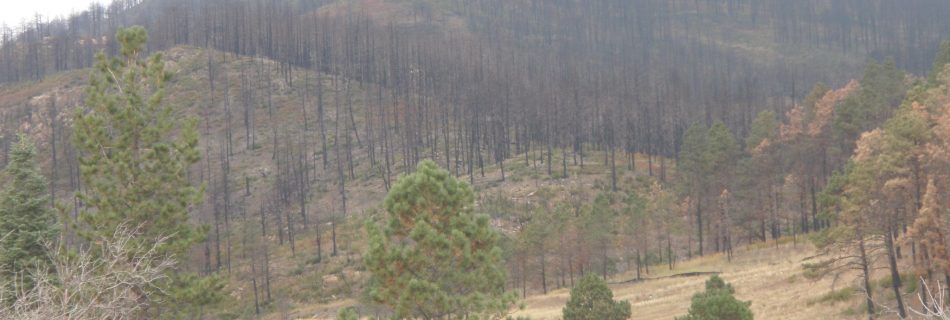
Recent changes in federal fire management policy have given fire managers increased flexibility to manage wildfires for multiple objectives. Fire managers can allow one flank of a fire to continue burning through remote backcountry, while actively suppressing another flank that threatens homes, infrastructure, or other values. Fire managers across the Southwest discuss the benefits of the new policy and the continuing challenges of managing fire.

Click here for accompanying “Managing Wildfire” write up containing more detail.


Buffelgrass: Southern Arizona Fights Back

The ecological and economic threat that buffelgrass poses to the community of Tucson and the surrounding area has sparked an unprecedented level of cooperation among land managers, nonprofits, government at all levels, and representatives from the business community. The Southern Arizona Buffelgrass Coordination Center represents a model of cross-­‐jurisdiction cooperation and community engagement in response to an environmental threat.

Click here for accompanying “Buffelgrass” write up containing more detail.


April 18, 2012: First Order Fire Effects Model (FOFEM)

Presenter: Duncan Lutes (RMRS Fire Modeling Institute, Missoula, MT) FOFEM is a computer program for predicting first order fire effects including tree mortality, fuel consumption, smoke production, and soil heating caused by prescribed fire or wildfire. In this webinar you will learn about the FOFEM algorithms, how to prepare the input data, run the tool …

March 21, 2012: LANDFIRE Total Fuel Change Tool

Presenters: Tobin Smail & Charley Martin, (US Geological Survey). The LANDFIRE Total Fuel Change Tool (LFTFC) allows users to edit LANDFIRE fuels attributes and associated layers directly with an ArcMap Toolbar. This webinar provides an overview of LFTFC’s capabilities to edit and add rule sets for changing fuel attributes based on existing vegetation type (EVT), …

February 15, 2012: LANDFIRE Data Access Tool

Presenters: Chris Toney (US Forest Service, RMRS/LANDFIRE Project) Jeff Jones (RMRS Wildland Fire Management RD&A, Whitefish, MT) The LANDFIRE Data Access Tool (LFDAT) allows users to download LANDFIRE layers from the data distribution site directly into ArcMap. The download extent is defined by the user within ArcMap. The tool allows the user to: Re‐project LANDFIRE data …

January 18, 2012: Hydrologic Impacts of High Severity Wildfire: Learning from the Past and Preparing for the Future

Presenter: Dan Neary (USFS RMRS) Fires are increasing in size, frequency, and severity. Simultaneously, development continues in the wildland-urban interface and the number of people living in or visiting forest areas is growing. Understanding the post-fire hydrologic response of watersheds as observed on the Schultz Fire of 2010, is paramount for effective risk management and …

June 2011: Santa Fe Watershed Forum and Field Trip

A large and diverse group of collaborators has successfully initiated restoration of ponderosa pine forests in the Santa Fe municipal watershed, which provides up to 50% of Santa Fe’s water. Follow-up prescribed fire treatments within sight of the state capital building have been successful in part due to continuing outreach to maintain high levels of …