November 14, 2012: Wildland Fire in Ecosystems: Effects of Fire on Cultural Resources

Presenter: Kevin Ryan This webinar provided an introduction to the new edition of the Rainbow series that provides fire and land management professionals and policy makers with a greater understanding of the value of cultural resource protection and the methods available to evaluate and mitigate risks to cultural resources. Watch the webinar recording.

November 8-9, 2012: Horseshoe Two Fire

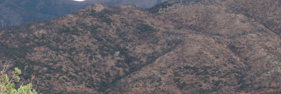
The Horseshoe Two Fire began on May 8, 2011 on the east side of the Chiricahua Mountains in southeastern Arizona and burned northeast into the Chiricahua National Monument. The topics covered on this field trip included landscape scale fire management, fire effects, operations, impacts on wildlife, post-fire rehabilitation efforts, and treatment effectiveness. Day one covered …

October 24, 2012: Whitewater-Baldy Complex

We hosted a one day field trip to explore New Mexico’s largest wildfire*, the Whitewater Baldy Complex, that burned 297,845 acres (465 square miles) on the Gila National Forest during the extremely dry and windy spring of 2012. The tour discussed the fire regimes of the fuel types that burned, the interaction of past fires …

October 17, 2012: Economics of Ecological Restoration and Hazardous Fuel Reduction Treatments

Presenter: Yeon-Su Kim (Northern Arizona University) and Diane Vosick (Ecological Restoration Institute) What are the economic values of landscape-level ecological restoration and hazardous fuel treatments?  The Ecological Restoration Institute at Northern Arizona University (ERI) assembled a team of wildland fire economists to conduct a rapid evidence-based assessment, as well as to design a timely and efficient …

September 27, 2012: Track Fire

A one day tour of the Track Fire near Raton, New Mexico. The fire started on June 12, 2012 from ATV Carbon exhaust flakes. It burned New Mexico and Colorado public and private land requiring interstate logistics. Some burned areas received cooperative post-fire watershed rehabilitation treatments from the City of Raton, the states of New …

September 19, 2012: Social Network Analysis

Presenter: Vita Wright (Northern Rockies Fire Science Network) Recent science communication studies of the federal fire management community suggest managers access research via informal information networks, and that these networks vary by both agency and position. We used a phone survey to understand the informal science communication networks of fire professionals in two of the …

March 2012: FRCC Workshop – (Albuquerque, NM and Flagstaff, AZ)

Fire Regime Condition Class (FRCC) assessments have been widely used for evaluating ecosystem status in many areas of the U.S. FRCC employs state-and-transition modeling to describe historical vegetation and fire regimes, which provides reference information related to landscape fire frequency, severity, and vegetation composition. Similarity indexing is used to compare historical versus current vegetation and …

January-March 2012: Computer Modeling for Fuels Specialists

The purpose of this workshop/webinar hybrid is to develop a working knowledge of computer models and their applications as needed to provide vegetation and fuels assessment input for unit and project-level planning. Fuels specialists in particular need tools that will help them assess existing and future vegetation conditions and the impact of treatments on fire …

June 22, 2011: Fire history and age structure patterns at landscape scales

Presenter: Jose Iniguez (USFS RMRS) Top-down regional climate patterns result in high spatial fire synchrony among Southwest forests. At landscape scales, however bottom-up (topography) patterns are also important in determining fire history and tree age structure variability. The distinct fire histories from these two study areas provided natural age structure experiments that indicated tree age …

May 16, 2012: Wildland Fire Assessment Tool

Presenter: Eva Strand & Josh Hyde (NIFTT University of Idaho) WFAT provides an interface between ArcMap, FlamMap 5, and the First Order Fire Effects Model (FOFEM), combining their strengths into a spatial fire behavior and fire effects analysis tool in GIS. In the webinar, you will learn how to use WFAT to locate potential fuel …