Spring 2014 Newsletter
Spring 2014 Newsletter
Spring 2014 Newsletter
250416 Sonoran Desert Discussion
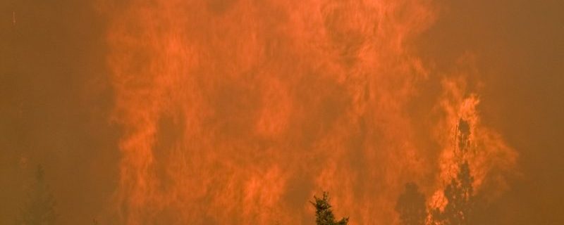
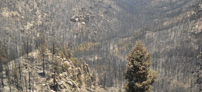
Whitewater Baldy Fire Factsheet Written by Jose Iniguez November 2012 If you attended the AFE conference last March and went on the Los Conchas field trip you may remember hearing that managers in the Jemez Mountains were actually expecting another big fire year in 2012. This was because the fire-scar fire history records contained a …
Hot and Dry Podcast Series EPISODE SUMMARY Cally and Collin talk with experts on extreme fire behavior. We learn it is more complex than it seems and the exact definition is hard to pin down. EPISODE NOTES Discussion on extreme fire. How can we prepare for it? How might it change in the future? How …
250415 Sonoran Desert Discussion-3
Presenter: Eva Strand & Josh Hyde (NIFTT University of Idaho) WFAT provides an interface between ArcMap, FlamMap 5, and the First Order Fire Effects Model (FOFEM), combining their strengths into a spatial fire behavior and fire effects analysis tool in GIS. In the webinar, you will learn how to use WFAT to locate potential fuel …
UFRI Program Manager Position Description
Released June 26, 2020 as part of the Hot and Dry Podcast Series by Cally Carswell and Collin Haffey, supported by the Southwest Fire Science Consortium. Catastrophic fires in the Southwest are often a double whammy of fire and floods. The floods that followed the 2011 Las Conchas Fire caused massive erosion, impaired water quality, and …
250415 Sonoran Desert Discussion-2
Hunter Tribal Consultation November 27, 2018 Bureau of Indian Affairs Mescalero Agency presentation on Tribal Consultation by Melvin Hunter Jr. Supervisory Forester on November 27, 2018